
Pat Doyle, one of the founders and owners of Doyle and Wachtstetter Inc. started his career in the profession surveying and mapping in the oil fields of Midland, Texas and developed a keen understanding of the needs and desires of Explorers & Producers and their projects, with time being an ever critical factor. Technology has changed since then but our goal remains the same.
Our Services Include
Upstream, midstream and downstream support
Well staking and permitting
Unit plats and division orders
GIS/LIS databasing and management
Preliminary to completion pipeline support
Down stream facility layout and mapping
Locating abandoned and orphaned wellheads.
*Our services in the field of Oil & Gas have been broken down into categories to aid in viewing, if you have something particular in mind you can browse through or use the search bar at the top of the page to locate keywords, in the case you have any questions or uncertainties please press the "Contact us" button at the bottom of the page and we can assist you directly.
Services


Engineering and Design:
Preliminary Site Information, Pre and Post Construction Comparison, Engineering Design Verification, Accurate Information for Construction Monitoring, Experienced Construction Site Professionals, Precision Data for Design Calculations, Current Conditions, Elevation Data, Improvements, Stockpile Surveys, Drainage and Utility Mapping and Design, Data Projection Conversions for Local and Geodetic Datasets.
Aerial Imaging & Data Acquisition:
FAA Compliant, High Resolution Aerial Photography, Visual, LiDAR, Geospatial Applications, Up to Date Actionable Information, GIS Mapping, 3D Modeling, Geomatics, Photogrammetry, Aerial Data Integration, Survey-Grade Geographic Information with Reduced Acquisition and Processing Time.
Construction:
Design and Infrastructure Monitoring, Professional Construction Services, Commercial, Industrial, Petrochemical Down-Stream Operations, Chemical Plants and Tank Farms, Precision As-Built and Layout/Staking Services, Stockpile and Land Volumes, Project Consulting and Design, Permitting, Design and Tolerance Verification, Preliminary and Post-Construction Equipment and Progress Monitoring.


Commercial Land Surveys:
American Land Title Association (ALTA), American Congress of Surveying and Mapping (ACSM), Certified National Society of Professional Surveyors (NSPS), Right-of-Way, Easement, Pipeline, Oil & Gas Lease, Drill & Well Layout and Location, Telecommunication and Electrical Transmission, Subdivision Platting, Boundary Disputes and Encroachments, Design and Existing Volume Calculations for Grading and Removal.
Topographic:
Existing and Design Calculations, Ground Contour information, Elevation Mapping and Planning Services, Site Plans and Drawings, Cartography, Improvement Locations, Proposed Construction, Design Preparation, Terrestrial or Hydrographic Information for Permitting or Design.
GIS/LIS:
Geographic Information Systems and Services, Land Information Science, Containment Volume and Drainage Studies, Spatial Imaging or Terrain Modelling, Laser Scanning and 3-Dimensional Data for Realistic Visualization and Virtual Representation, Computer Assisted Drafting (CAD) Services, Processing Geospatial Data, Geo-Referenced Spatial Data.


Geospatial Acquisition & Analysis:
Customized Solutions for Diverse Data, Remote Sensing, Gathering and Collection, 3D Models for Engineering, Design and Analysis, Hazardous Environment and Material Solutions, High Definition Scanning (HDS), Light Detection and Ranging (LiDAR) Surveying, Processing, Management, Conversion & Manipulation of Historical and Current Satellite Imagery and Geographic Spatial Data, High Accuracy/Low Tolerance Studies, Site Imagery, Professional Support and Expertise, Spatial Analysis and Modeling.
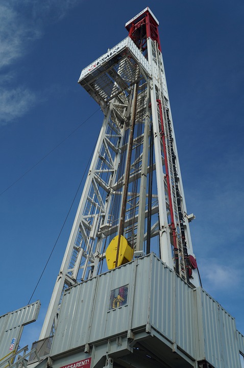
Well Staking and Permitting:
Development and Engineering for Upstream Operations, Single or Multi-Well Projects, Field Services, Aerial Mapping and GIS Data Management, Well Location Services, Lease Boundaries and Divisions, Unit Location and Layout, Utility and Pipeline Locating and Mapping, Licensed Surveyors for Land and Mineral Rights Research and Consulting, Railroad Commission Platting and Permitting Certification.
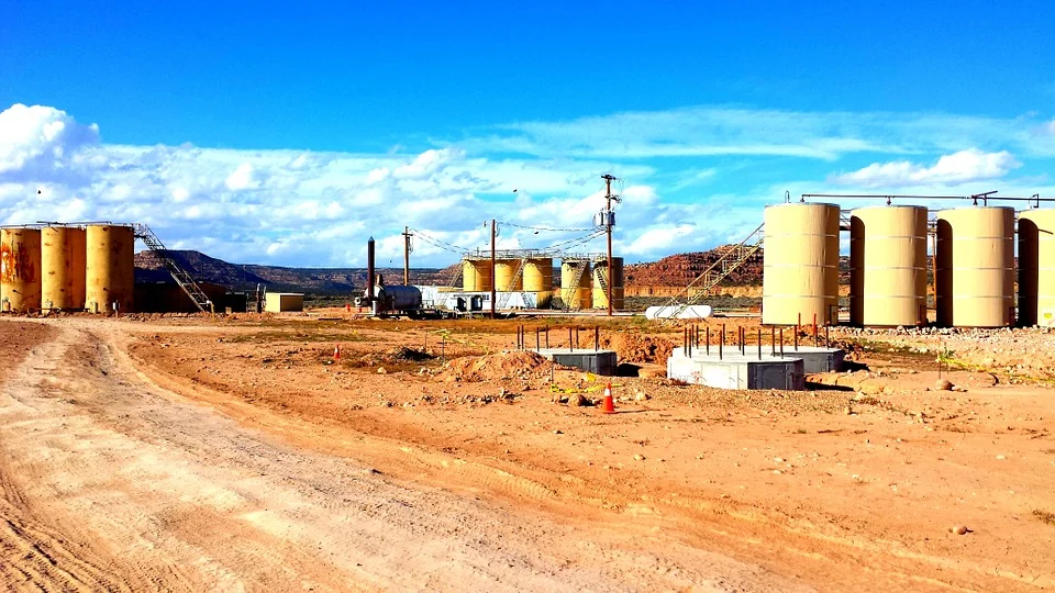
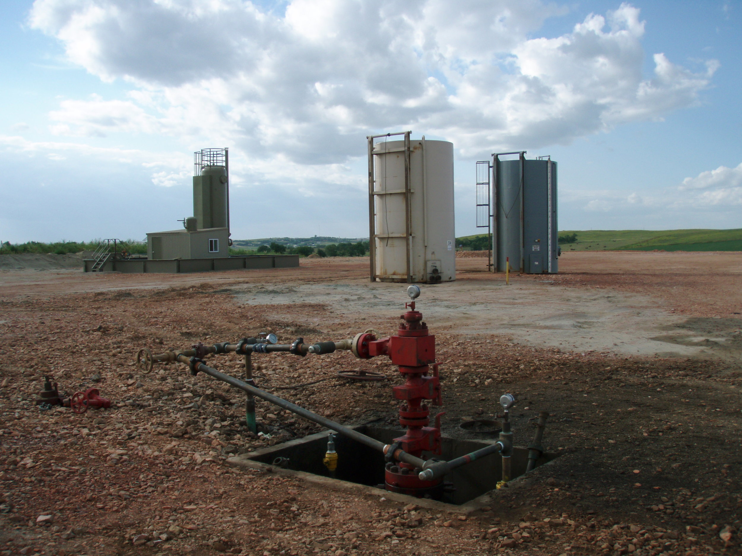
Pipeline Construction & Integrity:
Specialized Mid-Stream Construction and Maintenance Contractor, Oil & Gas, Various Chemical Operations and Transportation Surveys, Preliminary Surveys, Routing & Design, Right-of-Way (ROW) Acquisition, Construction Workspace and Pipeline Staking/Layout, As-Built and Post-Construction Mapping, Integrity and Maintenance Repair and Location Mapping, Geographic and Spatial Database Integration, AGM Location Plans, Dig Site Surveys, Log Readings and Anomaly Locations and Exhibits, Depth of Cover Surveys,