
About
At Doyle & Wachtstetter, Inc. our staff is dedicated to ensuring our products meet the clients needs as well as all regulatory requirements. We utilize state of the art technologies to help ensure our products are accurate, precise and efficiently produced. This includes utilizing GIS databases to combine data from various sources, using advanced detectors in the field for the location of property corners and abandoned well heads and applying sophisticated GPS and UAV technology for mapping and site condition surveys. Our most important tool however, is our experienced staff of surveyors, technicians and professionals who are all dedicated to applying the knowledge they have gained through years of work to ensure that the product we develop is something that sets our company apart as one of the premier service providers for the oil & gas industry.
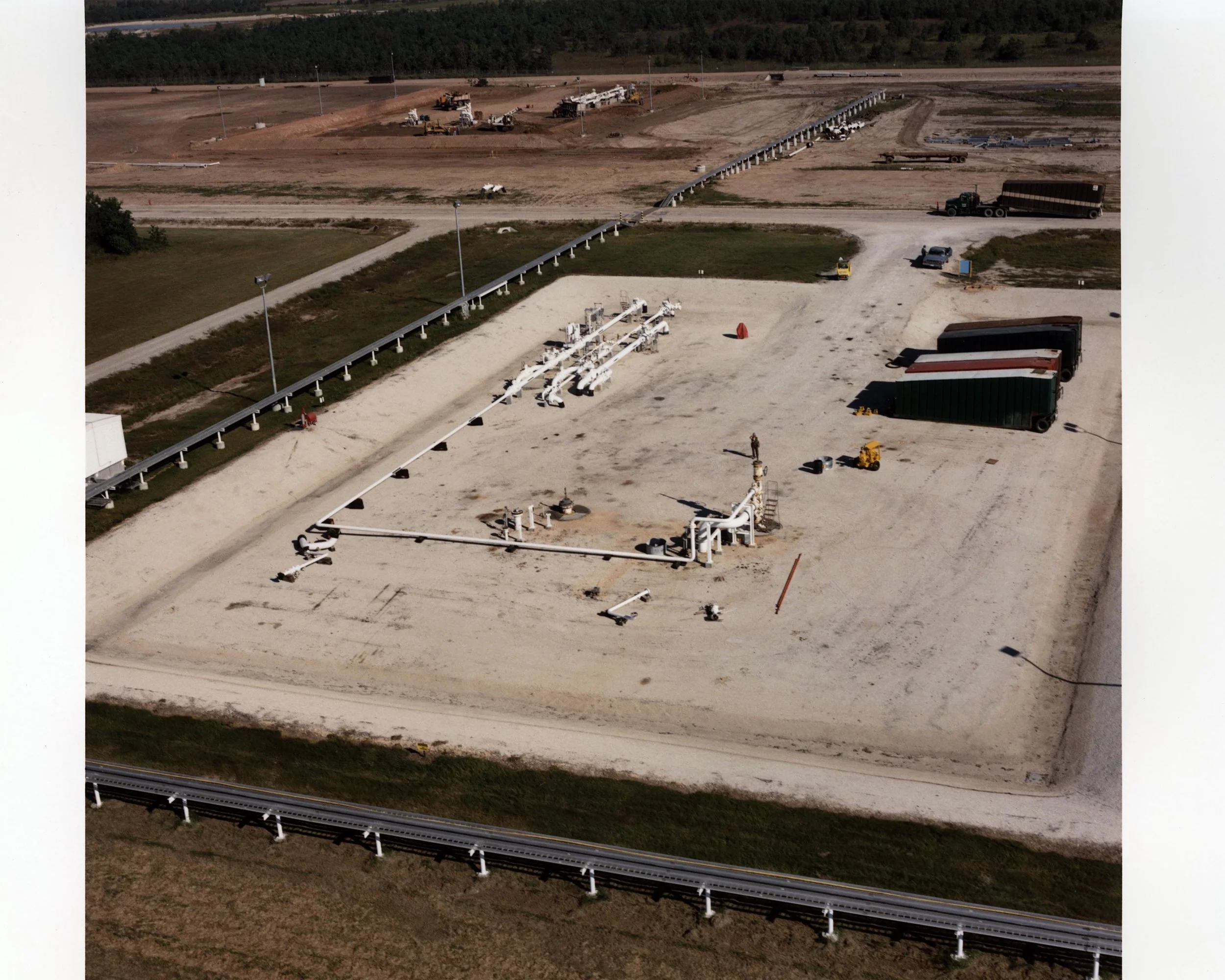
We offer services which include support for upstream operations such as the development and engineering for new operations, single or multi-well projects, field services such as site mapping or locating abandoned facilities, aerial mapping and current imagery, GIS data management, lease boundary and division plats, unit and well location and layout, licensed surveyors for land and mineral rights research and consulting, railroad commission platting and permitting services.