About

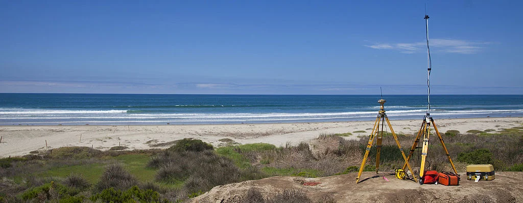
Doyle & Wachtstetter, Inc. offers a wide range of hydrographic surveying and support services including project planning, equipment procurement, data acquisition, processing, and mapping. We are familiar with the requirements and procedures for performing Class I surveys as provided by the USACE document EM 1110-2-1003, “Hydrographic Surveying”, as well as deliverables conforming to USACE document EM1110-1-1807 “Standards Manual for U.S. Army Corps of Engineers Computer-Aided Design and Drafting (CADD) Systems”. Our hydrographic survey services include but are not limited to traditional navigation surveys for dock facilities, bathymetric and topographic surveys, bridge and reservoir inspections, depth-of-cover surveys for pipelines, tidal control surveys, wetland mapping and delineation, beach and waterway profiling, geophysical surveys (Sub Bottom, Magnetometer and Gradiometer), hydrographic planning studies, sediment sampling dredging support, and using new technologies for investigative support surveys to assist marine salvage and offshore oilfield service operations.